DJI Matrice 4 Enterprise

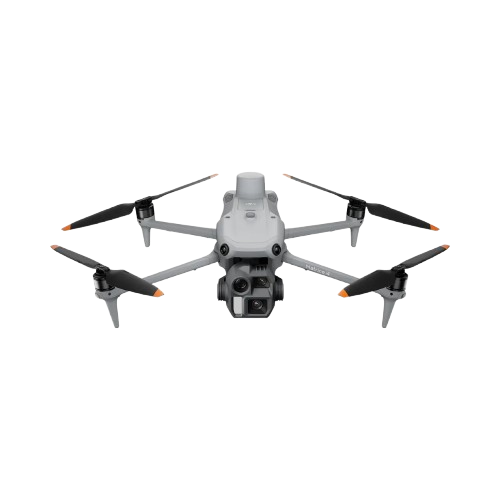
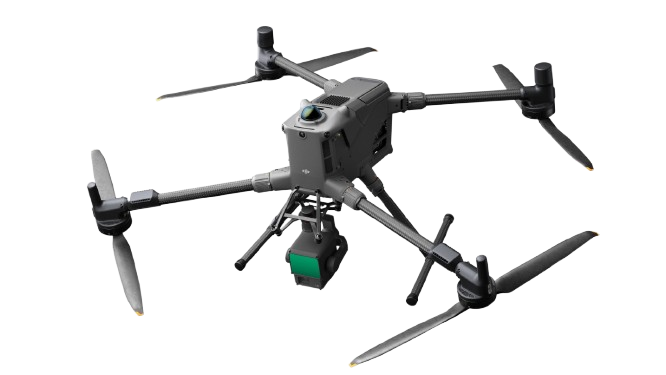
Experience precision-driven aerial mapping with the DJI Matrice 4E — a compact, intelligent flagship drone built for geospatial workflows. Equipped with enhanced sensing, AI-powered flight safety, and high-accuracy measurement capabilities, the Matrice 4E delivers efficient, reliable performance for surveying, mapping, construction, and mining operations.

  • Wide-Angle Camera: 4/3 CMOS, 20 MP effective pixels, f/2.8–f/11, 24 mm equivalent, mechanical shutter
  • Medium Tele Camera: 1/1.3" CMOS, 48 MP effective pixels, f/2.8, 70 mm equivalent
  • Tele Camera: 1/1.5" CMOS, 48 MP effective pixels, f/2.8, 168 mm equivalent
  • Laser Range Finder: Measurement range up to 1,800 m (1 Hz), 600 m oblique incidence (1:5 ratio), 1 m blind zone
  • Range Accuracy: ± (0.2 + 0.0015 × D) m

Download Datasheet

DJI Matrice 4 Enterprise

Related Product

See Through, Far and True

Detail

Engineered for Excellence, Designed for Versatility

Detail

Ringkas dengan Performa LiDAR Maksimal untuk UAV

Detail
Marketing Sonar
Sonar Nusantara Indonesia
Halo
Ada yang bisa kami bantu ?
Start Whatsapp Chat